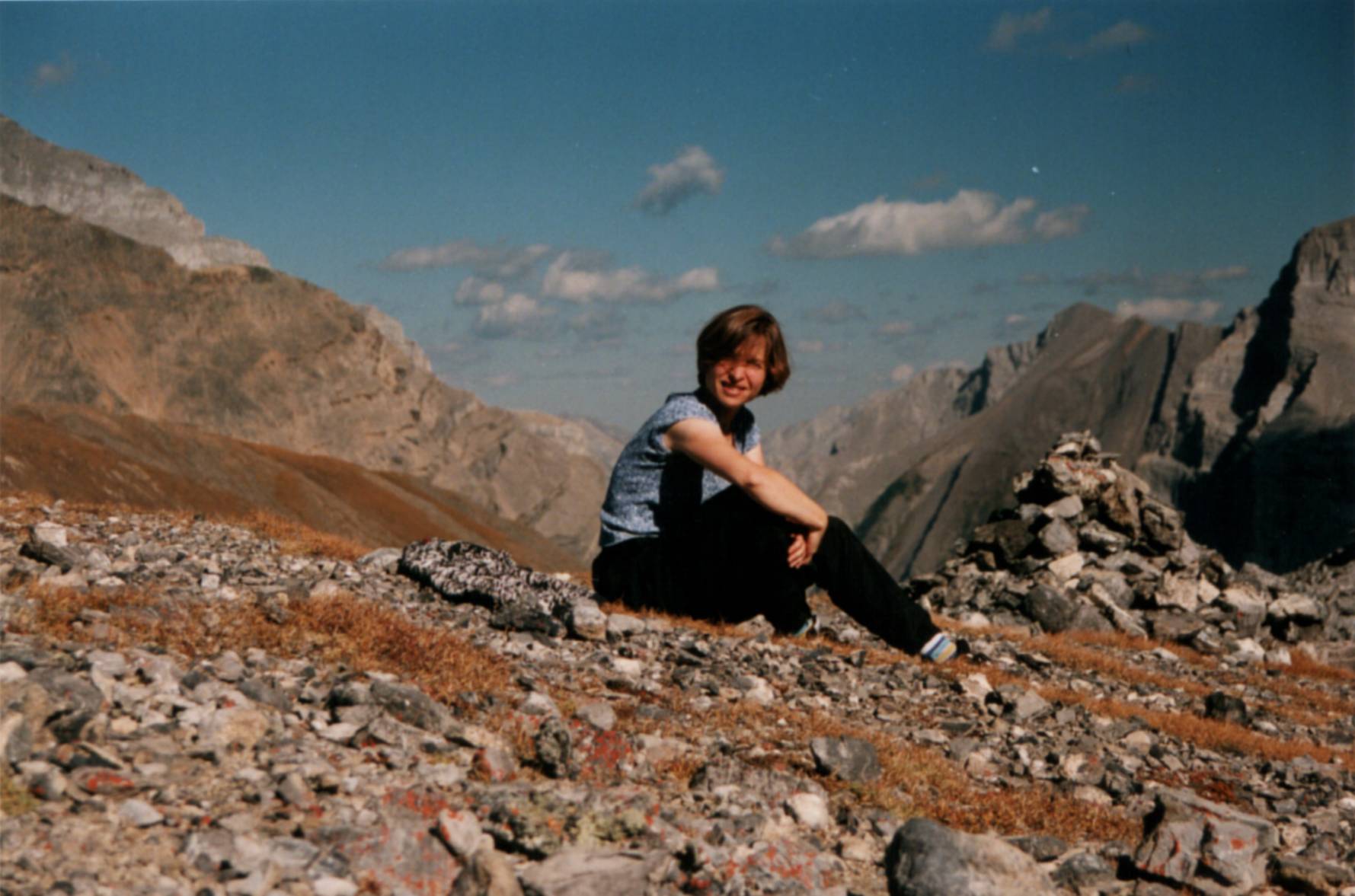
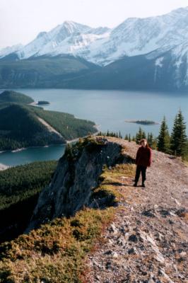
At the top of Buller Pass (Kananaskis Country). The valley in the background
descends to the Ribbon Lake.
At the top of Buller Pass (Kananaskis Country). The valley in the background
descends to the Ribbon Lake.

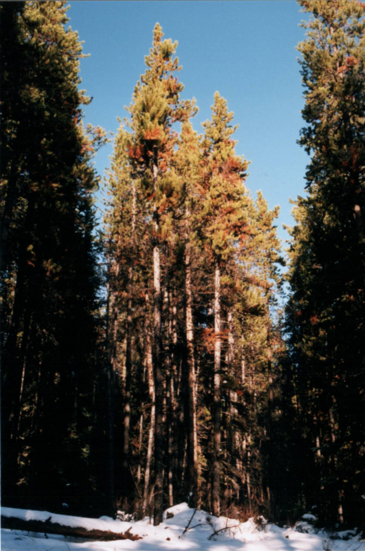
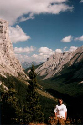
 Autumn views. The left picture is taken half-way up the path leading to the lakes on
Castle Mountain (Banff national park). Amazingly, that path was still accessible on
November 15th. I think everybody living up north gotta really love that global warming
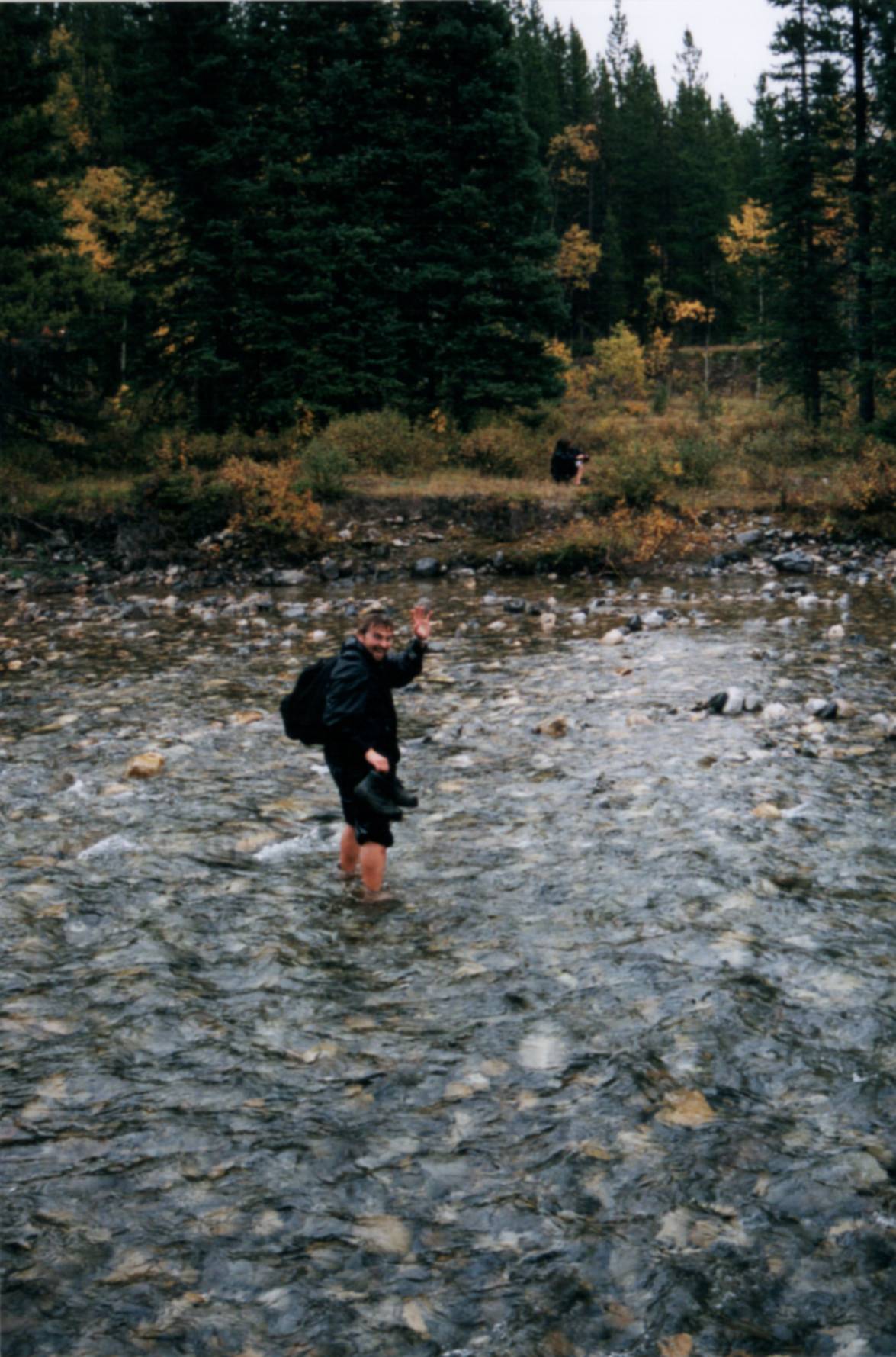
thing ;-) The second shot, of myself crossing a little creek in Kananaskis Country,
was taken on a bitter-cold day in early October. It started snowing really heavily
half an hour after we got across - fortunately, on our way back to the parking lot.
Autumn views. The left picture is taken half-way up the path leading to the lakes on
Castle Mountain (Banff national park). Amazingly, that path was still accessible on
November 15th. I think everybody living up north gotta really love that global warming
thing ;-) The second shot, of myself crossing a little creek in Kananaskis Country,
was taken on a bitter-cold day in early October. It started snowing really heavily
half an hour after we got across - fortunately, on our way back to the parking lot.
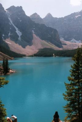
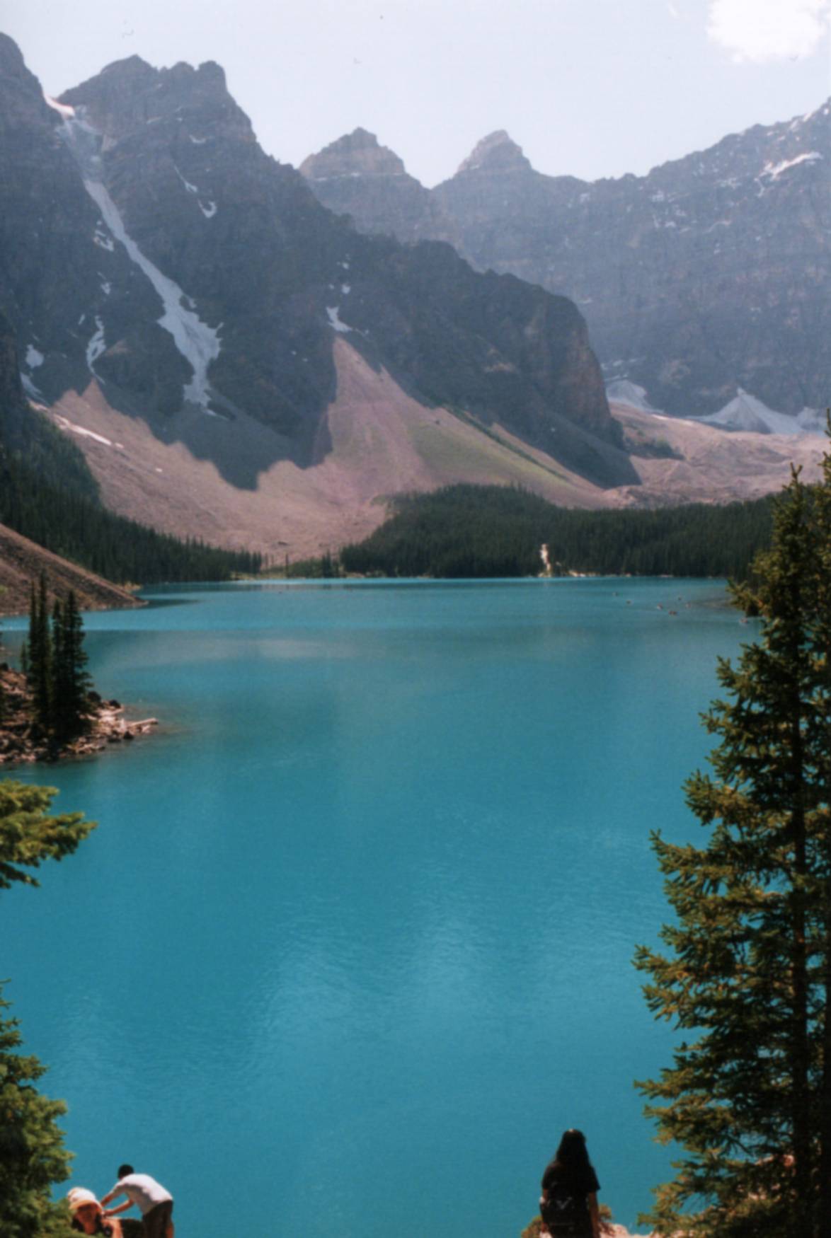
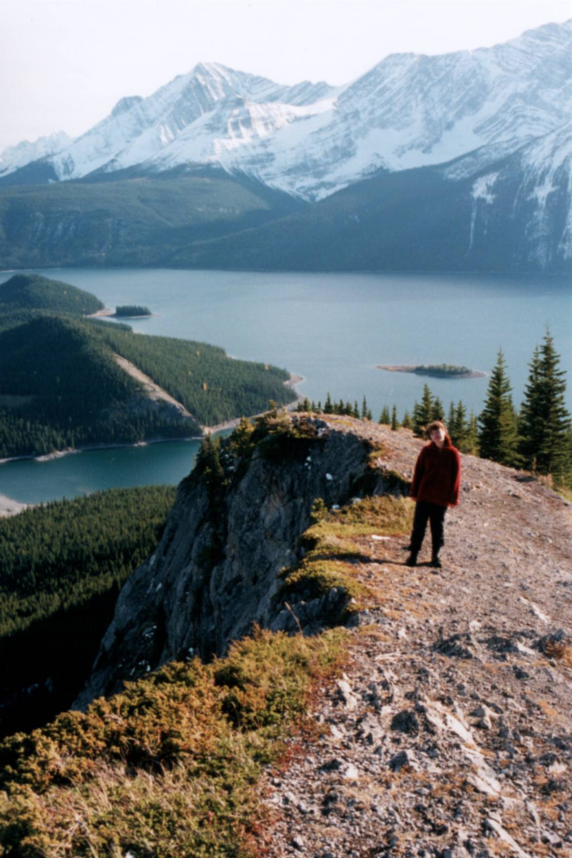
 Rockies are blessed with an abundance of stunning lakes (you'll find a few more
in my "reflections" series). On the left is Moraine
Lake (Banff national park), which is a part of the standard tourist fare of
Canadian Rockies - but beautiful all the same. On the right is Upper Kananaskis
Lake. The cliff in the foreground dips into Lower Kananaskis Lake.
Rockies are blessed with an abundance of stunning lakes (you'll find a few more
in my "reflections" series). On the left is Moraine
Lake (Banff national park), which is a part of the standard tourist fare of
Canadian Rockies - but beautiful all the same. On the right is Upper Kananaskis
Lake. The cliff in the foreground dips into Lower Kananaskis Lake.

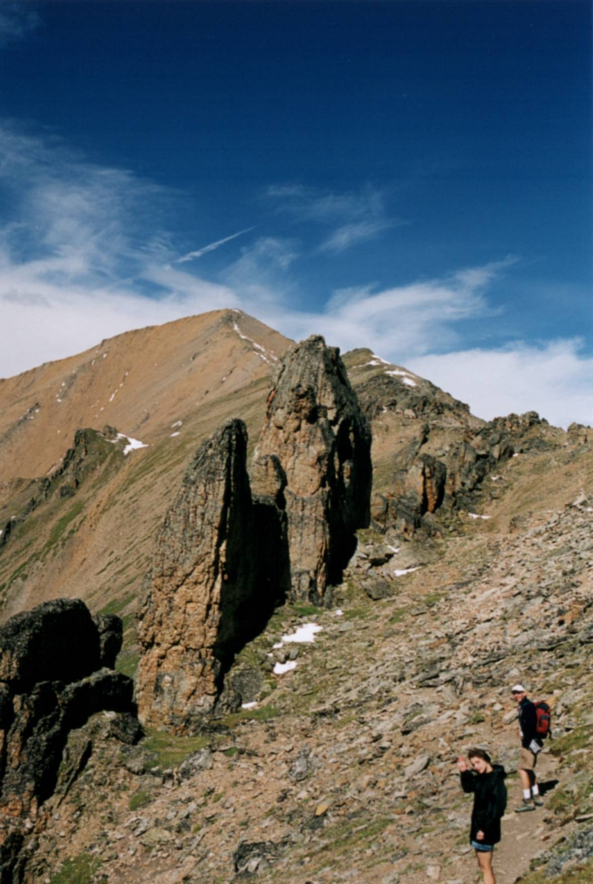
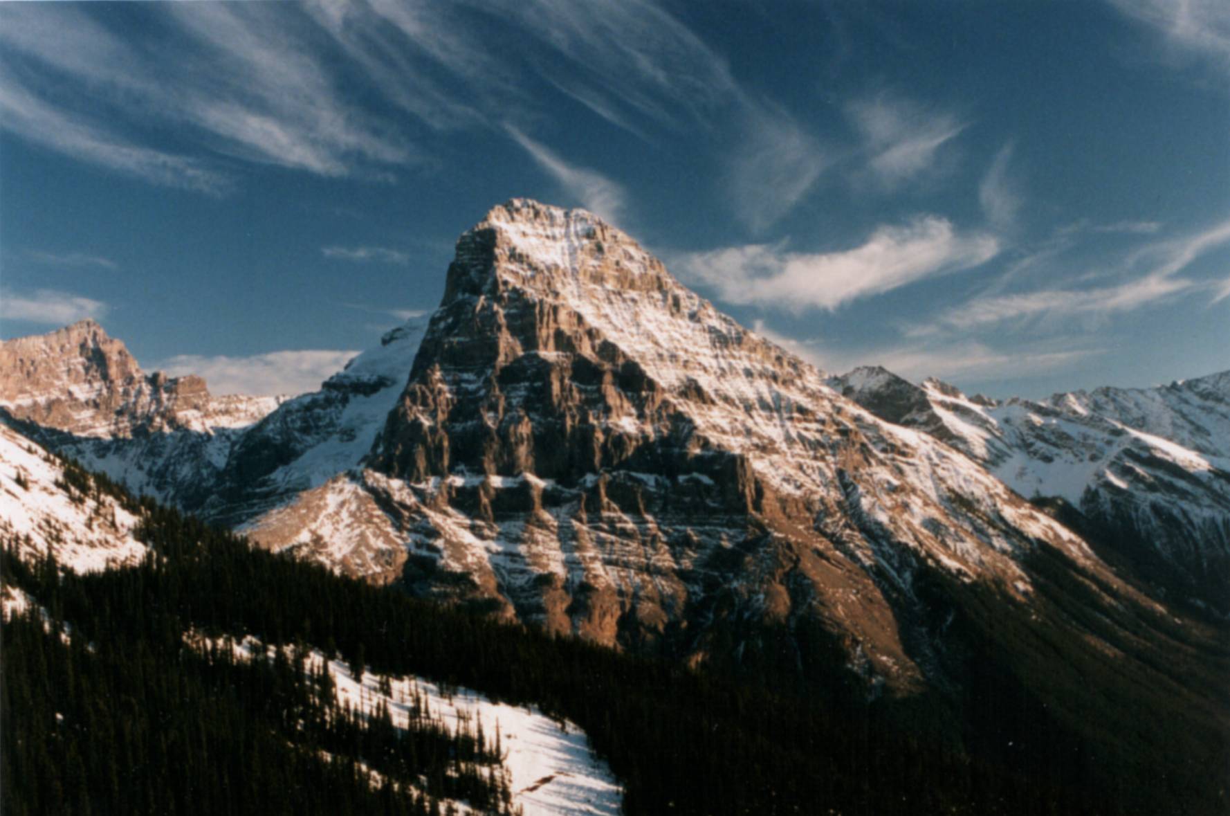
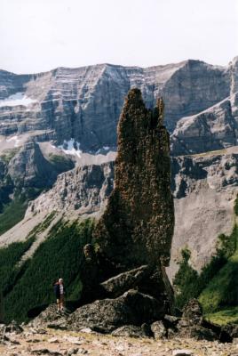 On the way to the Mount Allan (Kananaskis Country) summit - the highest "official" hiking
trail in Canadian rockies, where you can barely get above 3000 meters above the sea level.
The summit itself, visible in the background on the left picture, is rather unspectacular -
but the ridge providing access to it looks like a jaw of some long-dead prehistoric monster.
Why they call it Olympic Ridge is really beyond me.
On the way to the Mount Allan (Kananaskis Country) summit - the highest "official" hiking
trail in Canadian rockies, where you can barely get above 3000 meters above the sea level.
The summit itself, visible in the background on the left picture, is rather unspectacular -
but the ridge providing access to it looks like a jaw of some long-dead prehistoric monster.
Why they call it Olympic Ridge is really beyond me.

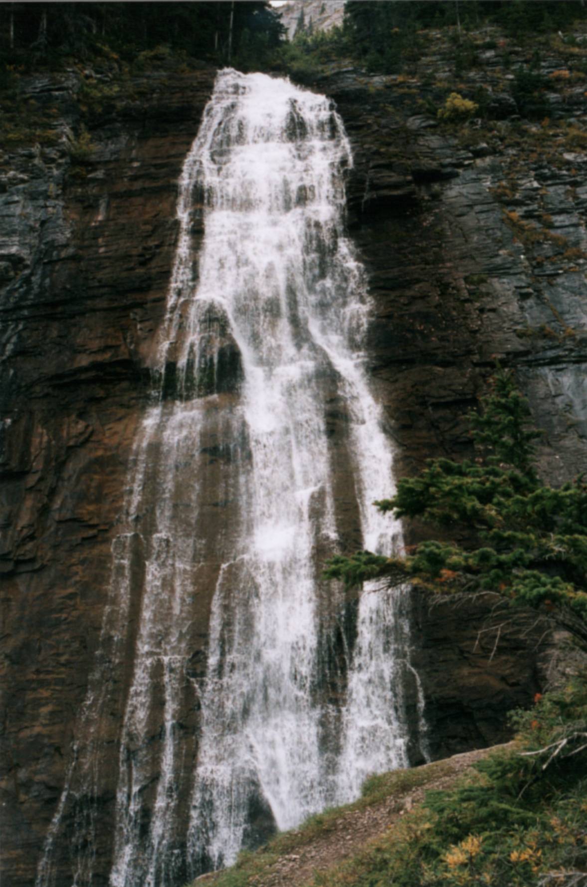
 Left: Ribbon Falls (Ribbon Valley, Kananaskis Country). Right: view on Ribbon Valley from
a point just above the waterfall.
Left: Ribbon Falls (Ribbon Valley, Kananaskis Country). Right: view on Ribbon Valley from
a point just above the waterfall.
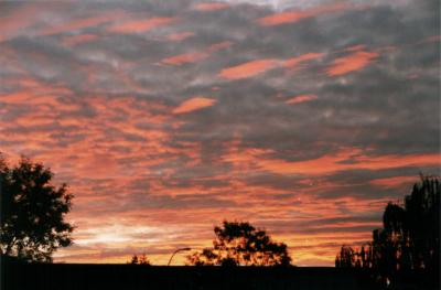 For once, this is not Rockies: this sunset view is taken from my balcony right in the middle
of Calgary.
For once, this is not Rockies: this sunset view is taken from my balcony right in the middle
of Calgary.

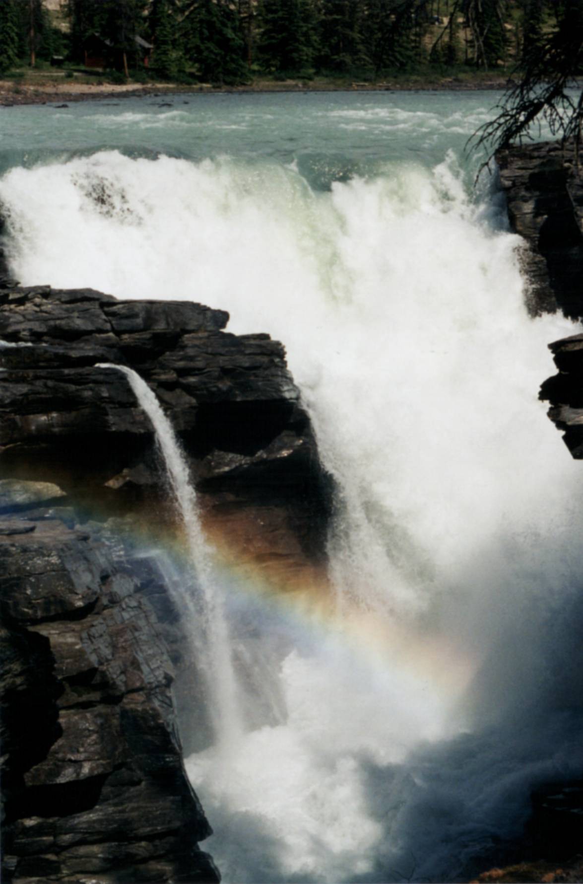
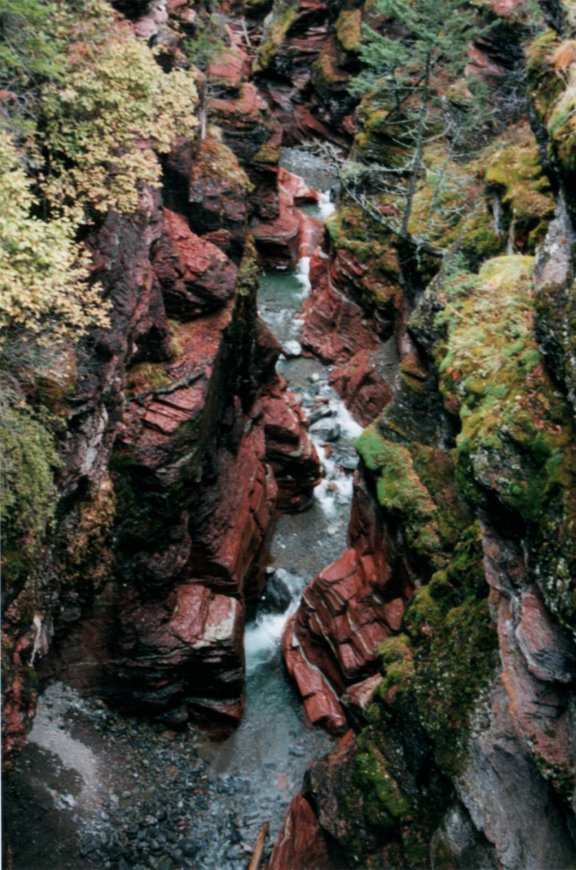
 Left: Sunwapta Falls (Jasper national park). Right: red stone canyon in Waterton national park.
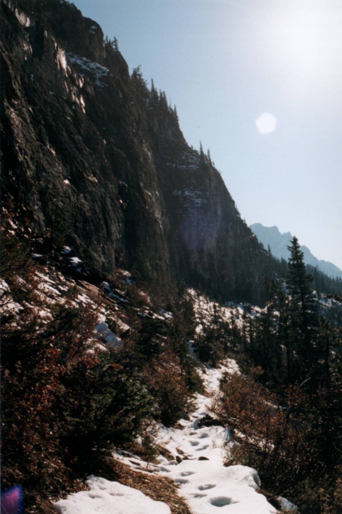
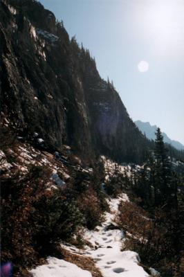 Snow-covered trail above Emerald Lake (Yoho national park). The foot prints in
the snow are not those of a lone hiker, though ...
Snow-covered trail above Emerald Lake (Yoho national park). The foot prints in
the snow are not those of a lone hiker, though ...
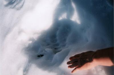 ... it looks like a grizzly bear used this trail last.
 Sunset is approaching (Yoho national park).
Go back
Text and photographs © 1999, 2000 Serguei Patchkovskii.
.